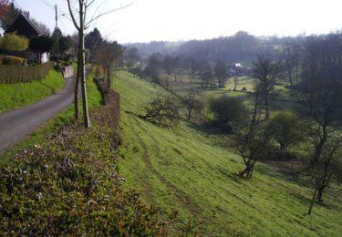
6 km | 7,6 km-effort
2012-05-19 12h30m52
davdaso
Gebruiker
Lengte
47 km
Max. hoogte
356 m
Positief hoogteverschil
811 m
Km-Effort
57 km
Min. hoogte
189 m
Negatief hoogteverschil
813 m
Boucle
Ja
Datum van aanmaak :
2014-12-10 00:00:00.0
Laatste wijziging :
2014-12-10 00:00:00.0
2h48
Moeilijkheid : Gemakkelijk
Gratisgps-wandelapplicatie
Over ons
Tocht Motor van 47 km beschikbaar op Normandië, Manche, Le Fresne-Poret. Deze tocht wordt voorgesteld door davdaso.
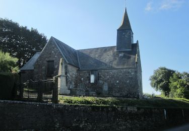
Plaatsbepaling
Land:
France
Regio :
Normandië
Departement/Provincie :
Manche
Gemeente :
Le Fresne-Poret
Locatie:
Unknown
Vertrek:(Dec)
Vertrek:(UTM)
659602 ; 5397466 (30U) N.
Opmerkingen
Wandeltochten in de omgeving
La Forêt (n° 13) - Saint Christophe de Chaulieu
Mountainbike
Gemakkelijk
Saint-Christophe-de-Chaulieu,
Normandië,
Orne,
France
6,5 km | 8,4 km-effort
34min
Ja
La Forêt (n° 13) - Saint Christophe de Chaulieu
Stappen
Gemakkelijk
Saint-Christophe-de-Chaulieu,
Normandië,
Orne,
France
6,5 km | 8,4 km-effort
1h 40min
Ja
Michelot Moulin - Pays de Tinchebray
Stappen
Medium
Tinchebray-Bocage,
Normandië,
Orne,
France
12,4 km | 15,4 km-effort
3h 0min
Ja
Gérard 18 03 2021
Stappen
Medium
Ger,
Normandië,
Manche,
France
13,2 km | 15,5 km-effort
3h 53min
Ja
Saint Jean des Bois Flers 12.4 Km
Stappen
Gemakkelijk
Tinchebray-Bocage,
Normandië,
Orne,
France
12,4 km | 15,4 km-effort
3h 19min
Ja